Help centerGetting started
Getting started with Ocean
What Ocean is for, how reefs, sites, surveys and photos fit together, and where to find things.
What Ocean does
Ocean is Coral Vita's workspace for reef survey work. Your team maps reefs and survey sites, uploads underwater photos from each dive, and Ocean's AI finds the coral colonies in every photo and estimates how much of each colony shows signs of bleaching. Ocean adds satellite heat stress from NOAA Coral Reef Watch for every survey date, so field evidence and ocean conditions sit side by side.
How records fit together
Everything in Ocean is organized in one hierarchy:
- Organization
- Your team's shared workspace. Everyone in it sees the same reefs, sites and surveys.
- Reef
- One restoration or monitoring area, with its habitat and an optional boundary on the map.
- Site
- A place on a reef where you survey: a point of interest, a transect line, or a zone.
- Survey
- A dated visit to a site. Survey photos, AI results and NOAA heat stress all belong to a survey.
- Photo
- An underwater photograph uploaded to a survey.
- Coral detection
- A coral colony the AI found in a photo, with its outline, area and bleaching reading.
Your first steps
- Create an account on the sign-in page with Create account. Ocean sets up an organization called My Team for you, and you are its administrator. If a teammate invited you, open the link in their invitation email instead to join their organization.
- With no reefs yet, Ocean opens Upload photos to get started. Add photos from a dive, click the map where you dived and name the site, and Ocean creates the reef, site and survey for you. Use Skip to go straight to the dashboard instead.
- On the dashboard, the Get started panel lists what is left to set up: uploading photos, defining your site, mapping your reef, recording habitat, and inviting teammates. Items disappear as you complete them.
Finding your way around
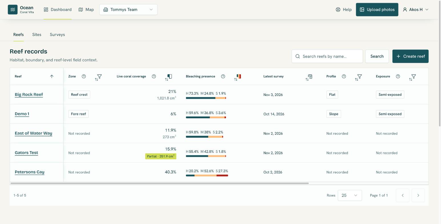
The header at the top of every page holds:
- Dashboard: searchable tables of your reefs, sites and surveys. See Dashboard, site and survey pages.
- Map: your reefs and sites on satellite imagery, where you draw boundaries and locations, and the bleaching severity heatmap.
- The organization switcher, shown when you belong to more than one organization.
- Help: this help center.
- Upload photos: add photos from a dive.
- Your account menu, with Profile settings, Organization settings, the light and dark appearance toggle, and Sign out.